
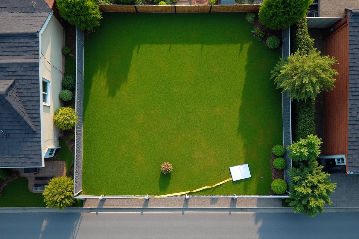
You are browsing a real estate listing and the land displayed measures 6 ares. The natural reflex is to look for the equivalent in square meters to visualize the plot. 6 ares correspond to 600 m², a simple calculation but one that masks a more useful question: what does 600 m² actually look like when considering a purchase or construction?
Cadastral notation ha/a/ca: the real source of errors in real estate
Even before converting, you need to know how to read a surface area correctly on a notarial deed or a cadastral survey. Land documents almost never express a plot in square meters alone. They use the mixed notation of hectares, ares, and centiares (ha/a/ca).
You may also like : Understanding the Importance of Small Bones in Our Spine Structure and Their Impact on Our Health
A plot of 600 m² appears as 0 ha 06 a 00 ca. Nothing complicated here, but as soon as the area includes centiares, confusion sets in. A plot of 625 m² becomes 0 ha 06 a 25 ca. The centiare is exactly 1 m², and forgetting this leads to significant reading discrepancies.
To properly understand the meaning of 6 ares in m², you need to go beyond the formula and get used to this tripartite notation used in all official documents.
Read also : Analysis of the Best Streaming Platforms in 2022
Here are the equivalences to remember between the three units:
- 1 hectare = 100 ares = 10,000 m², which is the area of a large agricultural plot or an urban park
- 1 are = 100 centiares = 100 m², which is a square of 10 m on each side
- 1 centiare = 1 m², the most familiar unit for habitable surfaces

600 m² of land: what this area really allows you to do
A raw number is not enough to evaluate a plot of land. You know the answer (600 m²), but do you know what can be installed there?
Visualizing 600 m² in daily life
Imagine a rectangle of 20 m by 30 m. This is roughly the size of a typical residential plot in a French suburban municipality. You can place a house with its footprint, a garden, a terrace, and possibly a small vegetable garden.
600 m² lies between a small urban lot and a spacious plot. In a dense city center, this area is comfortable. In a rural area, it remains modest.
The footprint and the occupancy coefficient
Having 600 m² of land does not mean building on 600 m². The local urban plan (PLU) of each municipality sets a footprint coefficient. This coefficient determines the maximum portion of the land that the construction can cover.
On a plot of 6 ares, if the PLU allows a footprint of 40%, the buildable area is limited to 240 m². The rest is dedicated to green spaces, access, and mandatory setbacks. Consult the PLU before estimating the buildable potential of a plot of this size.
Conversion of ares to m²: the method and its practical variants
The basic rule can be summed up in one line: multiply the number of ares by 100. For 6 ares, the calculation gives 6 x 100 = 600 m².
This operation works because the are is defined as a square of 10 m on each side, which is 10 x 10 = 100 m². The are is not an archaic unit: it remains official in the metric system and continues to appear in notarial deeds, surveyor reports, and cadastral documents.
Converting ares to hectares and vice versa
When areas become larger, the hierarchy of units comes into play. 100 ares make 1 hectare. To convert hectares to m², you multiply by 10,000.
The following table summarizes the most common conversions in a real estate context:
| Area in ares | Area in m² | Typical use |
|---|---|---|
| 1 are | 100 m² | Small garden, courtyard of a building |
| 3 ares | 300 m² | Compact urban plot |
| 6 ares | 600 m² | Suburban residential plot |
| 10 ares | 1,000 m² | Spacious residential land |
| 50 ares | 5,000 m² | Large property, small estate |
6 ares of land in urban or rural areas: two distinct realities
A plot of 600 m² does not hold the same value, nor is it experienced in the same way, depending on its location. This is a point that simple conversion does not capture at all.
In urban areas, 6 ares often represent a standard subdivision lot. The land is serviced, marked, and the price per square meter reflects the proximity to services. The development margin is limited by strict urban planning rules.
In rural areas, this same surface may seem small. Neighboring plots sometimes measure several tens of ares. A plot of 6 ares will be perceived as a “gaping hole,” a remnant of parcel division rather than a comfortable building plot.
The perception of land depends as much on the local context as on its raw surface area. Before buying, compare the plot with neighboring lots and check the constraints of the applicable PLU.
Check the actual surface area before purchase
The surface area indicated in a listing corresponds to the cadastral data. It does not always take into account easements, road encroachments, or non-buildable zones. A boundary survey conducted by a certified surveyor can confirm the usable area and identify the exact limits of the property.
For a plot of 6 ares, a few square meters difference can change the project. An easement of 30 m² reduces the usable area to 570 m², which alters the footprint calculation and the development budget.
The boundary survey remains the only reliable guarantee of the actual surface area of a plot, regardless of the number of ares displayed in the listing. This precaution avoids unpleasant surprises after signing, especially when every square meter counts in the feasibility of a construction project.